1 day in Shenandoah National Park
Recently, I was in Washington DC for a wedding and decided to visit the local national park, Shenandoah. This guide outlines my 1-day trip and highlights you should not miss, including my review of Old Rag Mountain, the most popular hike in Shenandoah.
Where is Shenandoah and how do I get there?
Shenandoah is in northwest Virginia. The park is a skinny sliver that runs for about 110 miles north to south. It can only be reached by car. It’s about 1.5 hours from Washington DC, 4.5 hours from Charlotte, and 4 hours from the Smokey Mountains in the South.
Don’t want to rent a car? Book the below tour for an all-inclusive experience, which includes the Luray Cavern (which I did not do!)
Skyline Drive Strategy
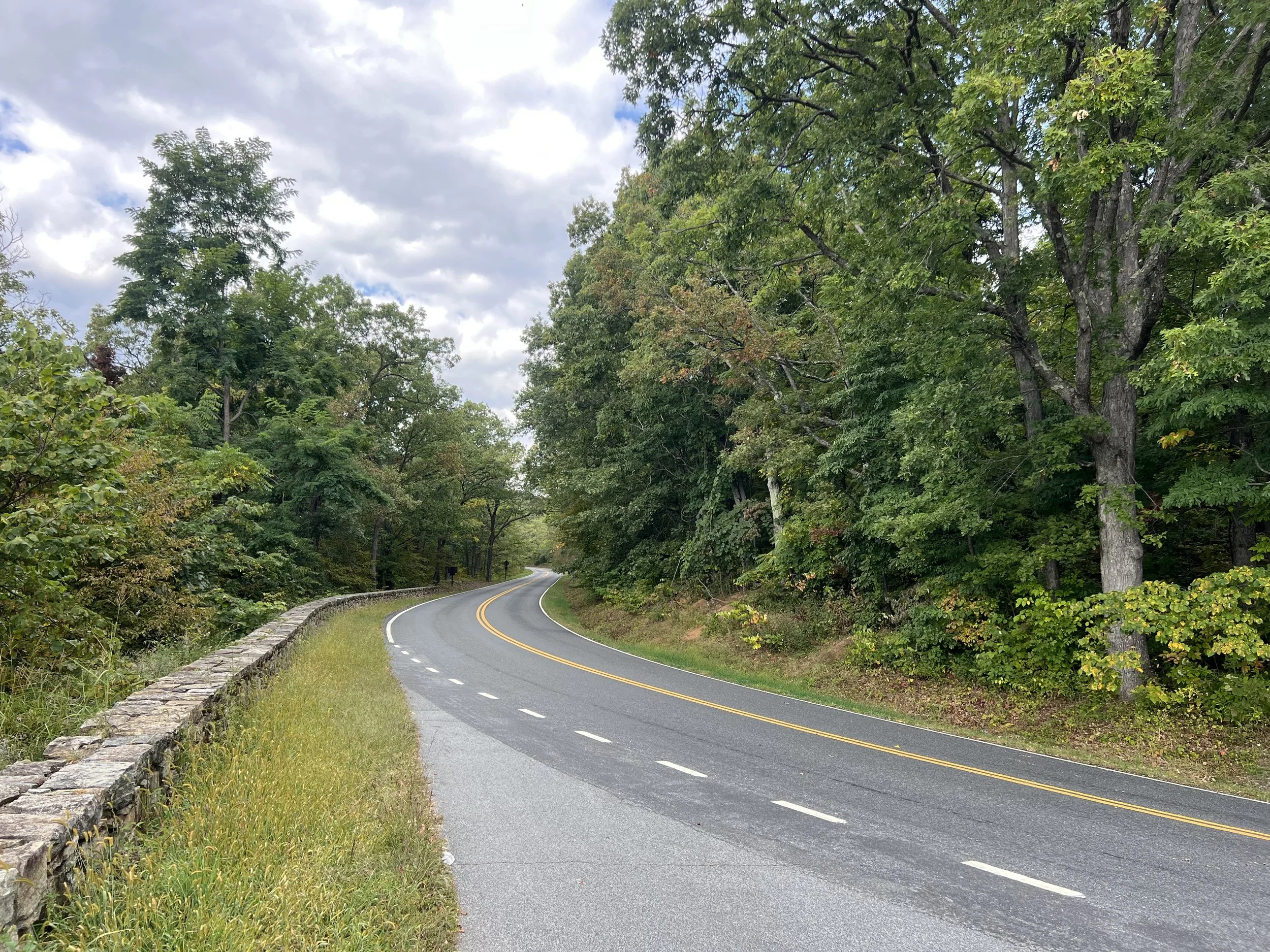
Skyline Drive is the main road in the park and runs throughout the entire area from North to South. It is 105 miles long and weaves along the Blue Ridge Mountains. Most people who decide to visit Shenandoah National Park drive the entire length of the road and don’t do additional exploring. If you want to drive the entire length of the road, it can take 3+ hours on a clear day (and longer if you add in stops or the weather is bad).
Note that the speed limit is typically 35mph, so it would take exactly 3 hours with no stops at the speed limit. I would budget 4-5 hours if you want to drive the entire stretch.
There are only 4 places you can enter (or exit) the Skyline Drive from North to South are:
Front Royal Entrance Station (mile 0) by Rt. 66 and 340 in Front Royal, Virginia
Thornton Gap Entrance Station (mile 31.5) by Rt. 211 near Luray, Virginia
Swift Run Gap Entrance Station (mile 65.5) by Rt. 33 near Elkton, Virginia
Rockfish Gap Entrance Station (mile 104.6) by Rt. 64 and Rt. 250
Depending on your timing and how much of the road you want to drive, make sure you are aware of when you can depart again! When I did this drive, I entered at Thornton Gap (mile 31.5) and drove to Front Royal (mile 0), which gave me a good feeling for the highway.
There are no specific stops that are “required”, just lots of pull-offs and areas to take in the view! If you’re looking to do a hike, make sure you know where the trailhead is as they can be hard to miss.
Note that the cell service is spotty on the road, so expect to have no service.
Best Hikes (ranked)
The landscape in Shenandoah National Park is relatively the same, so I recommend picking one or two hikes during your time here. The selection of hike depends on where you are starting from (North / South) and what level hiker you are. Below, I write in detail about my experience doing Old Rag (#1), but any of these hikes will give you a wonderful experience of the park with views and nature.
Old Rag Mountain Loop - Advanced, 9.5 miles, 2,600ft elevation gain
Whiteoak Canyon and Cedar Run Trail Loop - Advanced, 8 miles & 2,300ft elevation
Lewis Spring Falls Trail - Moderate, 3 miles, 850ft elevation
Little Devils Stairs Trail - Moderate, 5.5 miles, 1,300ft elevation
Mary's Rock Loop via Buck Ridge Trail - Advanced, 9.5 miles, 2,300ft elevation
Seasonal Guidance
While the park is open year-round, you will likely have the best experience during spring (blooming wildflowers and trees), summer (warm weather and lush trees), and fall (leaves changing color). Be careful in the winter as the roads and trails may have lots of ice / snow / rain, which can be hard to navigate.
Gear list
Depending on what adventure you’re looking for, make sure you secure the following items:
A car. You’ll need a car to get to and from Shenandoah, and to drive on the Skyline Drive.
Hiking backpack
Hiking boots
Extra water and food. While there are some places to re-supply your water and food along the Skyline Drive, it’s best to stay prepared and have at least 1 gallon of water per person / ample snacks before you head into the park
National Parks Pass. Make sure to get your yearly pass for $80 if you visit at least 3 parks a year!
Rain jacket
Warm jacket (puffy or fleece)
My 1-day itinerary
(Night Before): pick up rental car. I decided to rent a car from DCA through booking.com because I found a smoking deal for $40. I also checked Turo, but for the price, I decided to rent from Dollar.
6-8am: Drive to Old Rag trailhead
Make sure you get an early start this day because of traffic in DC! I set my GPS set to avoid tolls so it took me 2 hours, although there is a way to save 20-30 mins with tolls.
8am-2pm: Hike Old Rag
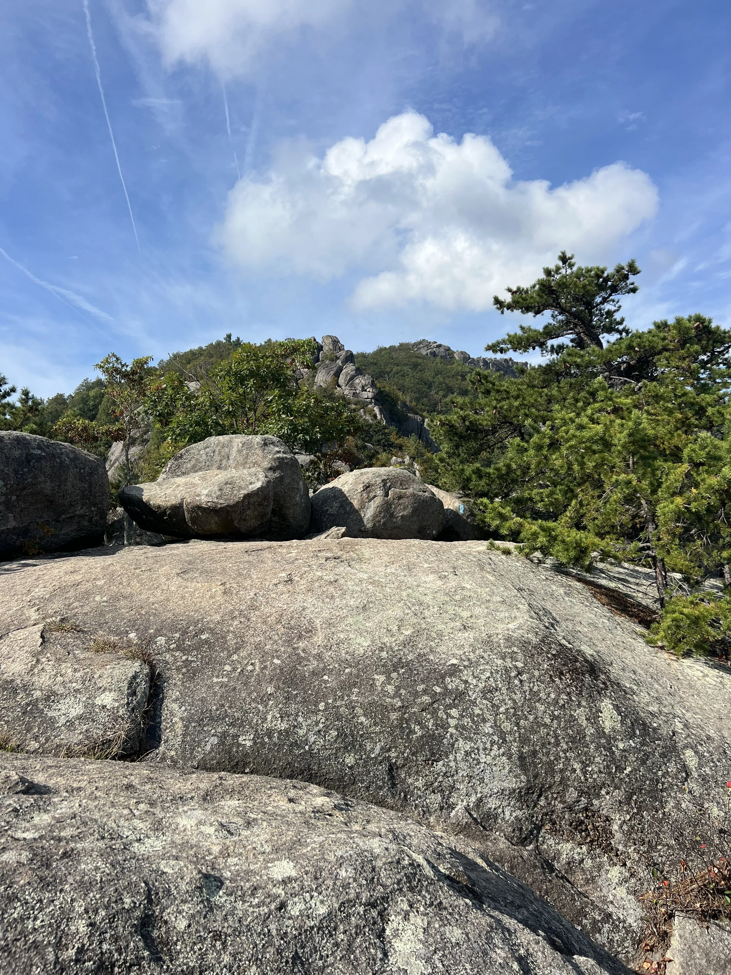
Old Rag is the most popular hike in the park, and for good reason! The hike is a 9.2 mile loop and covers a variety of terrain.
First, make sure you get a timed entry permit on recreation.gov for $2. You will not be allowed to park in the parking lot without it and there is no service at the trailhead! Book it in advance if you are going on a weekend. I booked the night before for a Monday in September and there was more than enough space. There is a ranger station at the trail head where you need to show your national park pass or pay for a onetime weekly pass, so make sure you bring your parks pass if you have it!
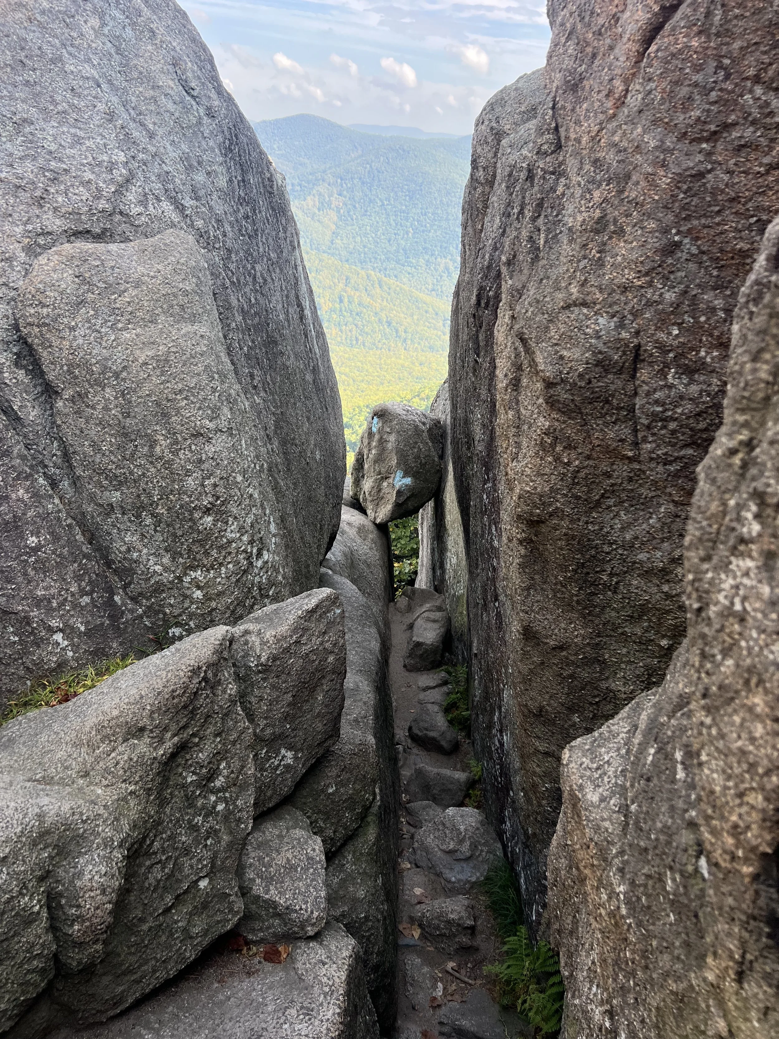
The hike takes an average of 6 hours. It took me just under 5 with breaks, and the grade is very sustained. Go clockwise if you sent to to the Boulder field on the way up (which I suggest!).
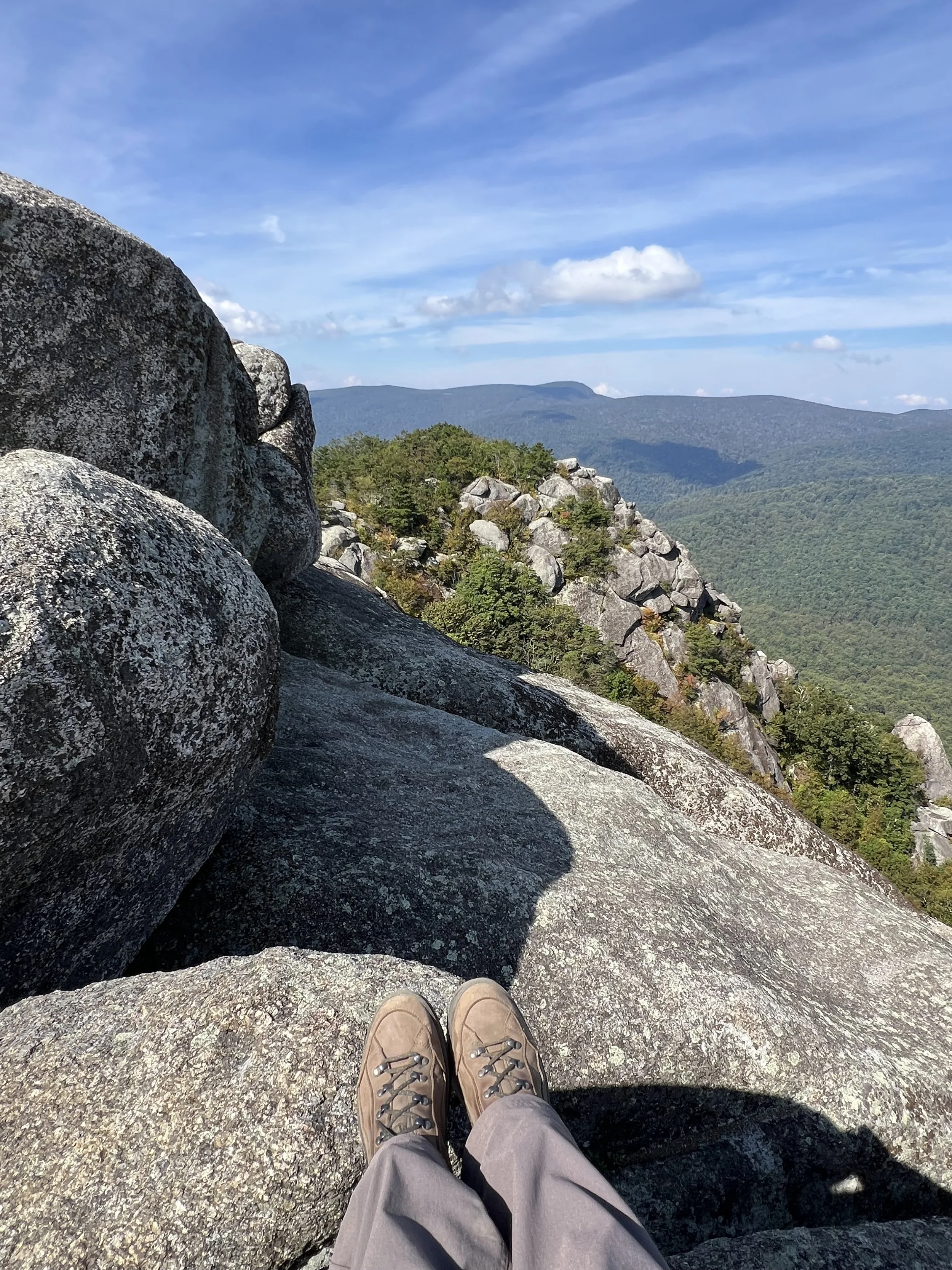
The Boulder field is a really fun section where you will be rock hopping, wedging between big rocks, and even some slight scrambling to get to the trail. It’s very well marked and I had no issue with getting lost. I would wear hiking or trail running shoes for good traction in this section, although nothing is too exposed.
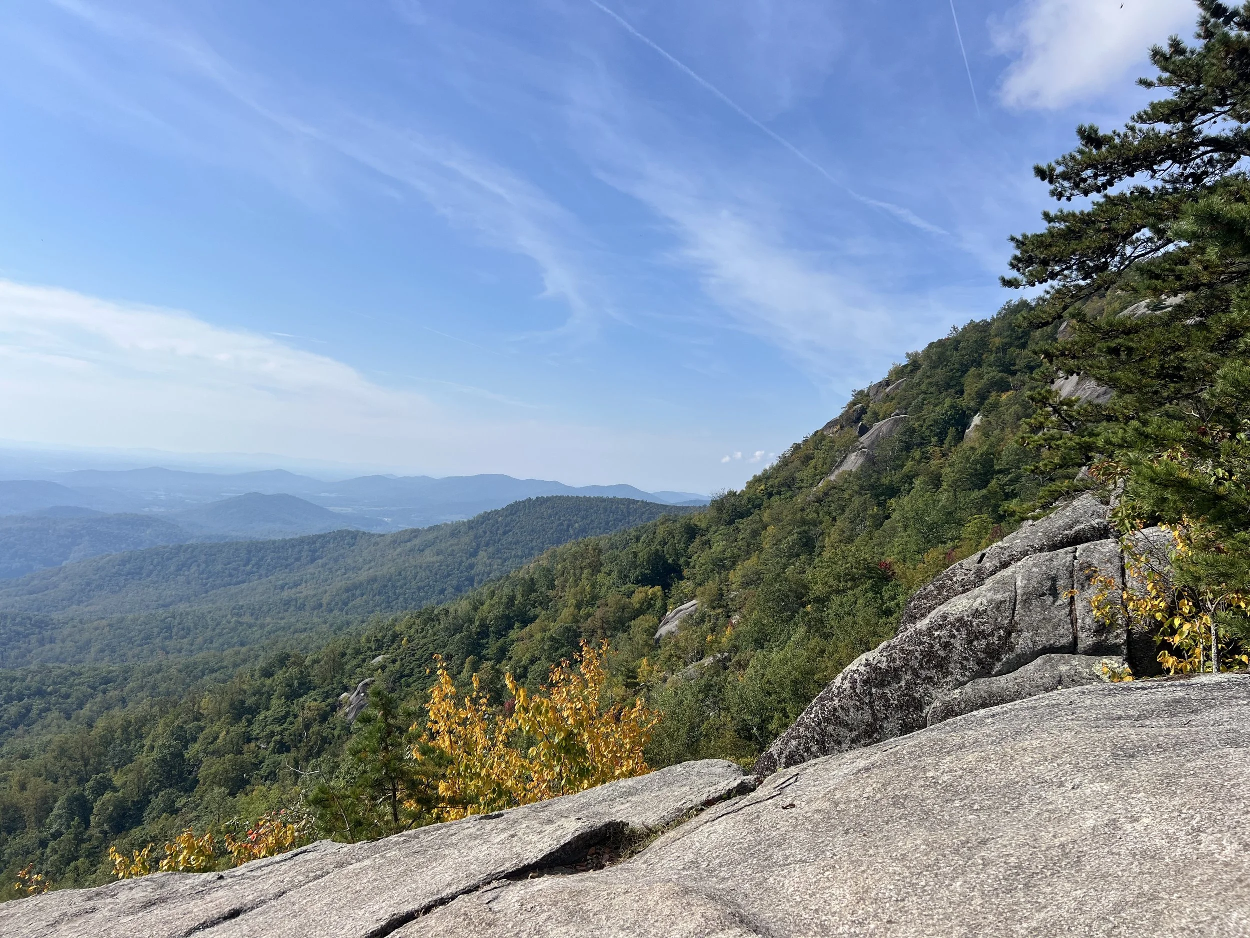
At the summit, you are treated with sweeping views of the valley. I saw eagles, woodpeckers, and squirrels on my hike.
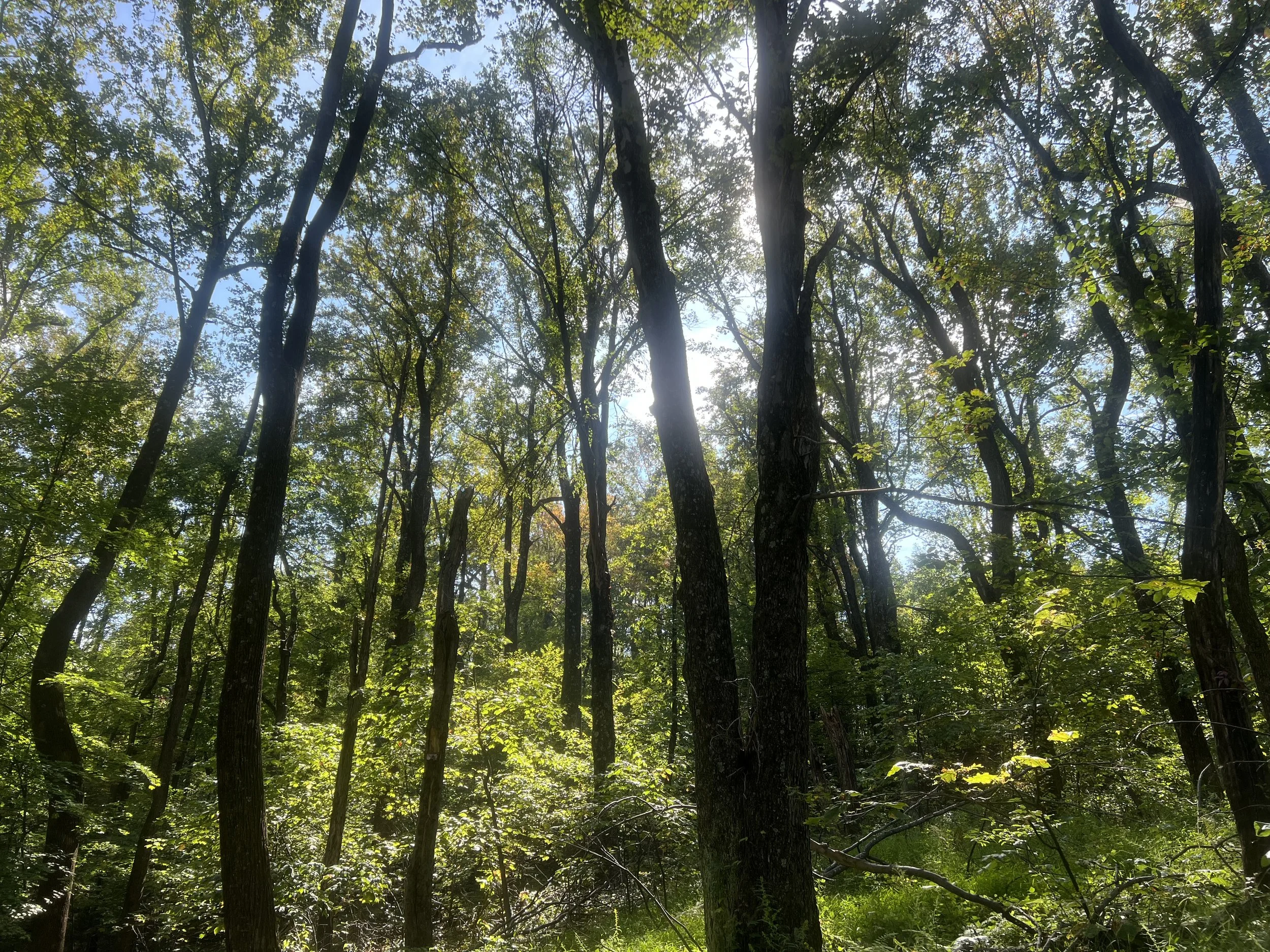
The way down is less thrilling, with about 2-3 miles on a fire road. It’s not the most thrilling section, but I prefer loops, and it was nice to walk next to the creek.
2-4pm: Drive the Skyline Road
After finishing up the hike, drive about 20 minutes north to the Thornton Gap entrance. This ranger station is the 1/4 marker of the national park, where the skyline road goes about 30 miles north and 80 miles south. I decided to drive north to the end of the park, and with limited time, this put me on a perfect triangle back to DC.
There are vistas every few miles to stop at. So just enjoy the ride and the views. Most of the hiking trails in this area either follow the road or go out of the park, so I was glad to have gotten my hiking done earlier. Note that that Appalachian Trail follows the road through the whole park. I definitely saw someone doing the whole thing!
The ranger station at the north end is worth a stop for their exhibits and gift shop.
4-6pm: Drive back to DC
After a fun day exploring, it easy time to head back to the city. The actual drive took me 1.5 hours and I stopped for some food at a diner. I dropped the car off at DCA and took the metro on my way.
Was 1-day enough for Shenandoah?
For me, yes! I think I got everything I wanted to see out of the park. I think Shenandoah is one of the few parks that you can visit in a day.
If I had 2 days, I would have driven the whole skyline road and camped in the middle.
Note that the traditional Old Rag trailhead cannot be accessed from Skyline road, so you will need to exit the park and drive along side it. There is a longer approach from the skyline road, but it would require a full day.
Also note that if you have multiple days, Shenandoah links to Smokey Mountains in the south.
I hope you enjoyed, and happy travels!